


Pix4D Mapper


ITEM CODE ;105600-AS
LAST UPDATED;22-08-2020
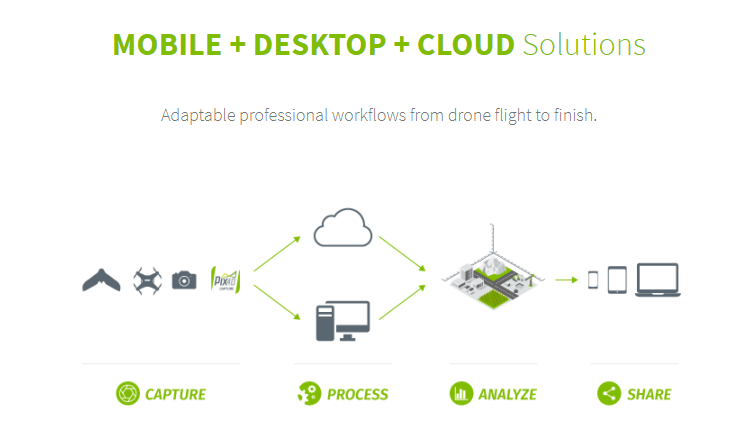
Pix4Dmapper turns your images into highly precise, georeferenced 2D maps and 3D models. They’re customizable, timely, and complement a wide range of applications and software.
 PIX4D mapper: Professional photogrammetry software
Pix4Dmapper turns your images into highly precise, georeferenced 2D maps and 3D models. They’re customizable, timely, and complement a wide range of applications and software.
Highlights:
3D Point Cloud
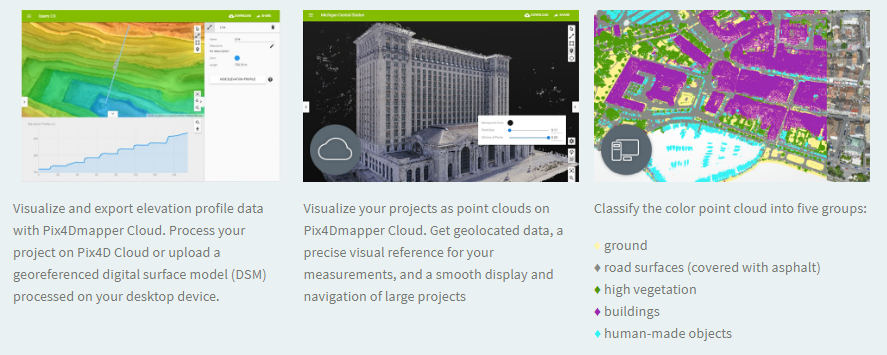
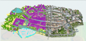
Accurate digital reconstruction and the geolocation of each point. Displayed in RGB or class colors.
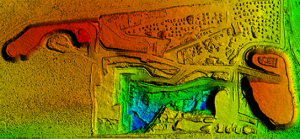
Digital Surface & Terrain Model
Get the elevation value of each pixel, with or without above-ground objects, ready for your preferred GIS workflow
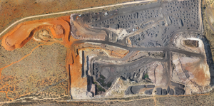
Orthomosaic
A geolocated high-resolution map with each pixel of the original images projected onto the digital surface model
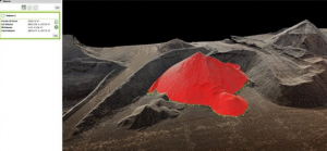
Volume Calculation
Accurate volume calculations on a perfect representation of your stockpiles, with fully-adjustable base height
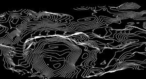
Contour Lines
A simplified representation of the topography with closed contours displaying the elevation.
3D Textured Model
Triangular mesh with photorealistic texture.

Reflectance Maps
Assess reflectance based on the pixel value in multispectral or thermal imagery.
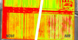
Index Maps (e.g. NDVI, NDRE)
Work with well-known indices such as NDVI and NDRE or create custom indices.
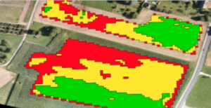
Application Maps
Aggregate and visualize the values derived from your index maps.
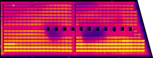
Thermography
A radiometrically-accurate map with a temperature value of each pixel
Related Products


Item Code : AExxxxNY
Last Updated : 15-04-2022
| Connection Type | Wireless |

ITEM CODE ;106600-AS
LAST UPDATED ;15-09-2020
Model Number: tab-a-wifi-smblack

Item Code : AExxxxNY
Last Updated : 15-04-2022
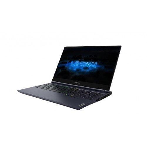
NVIDIA GeForce RTX 2080 Super Max-Q 8GB

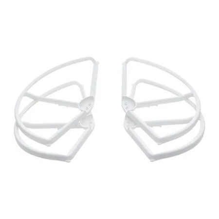
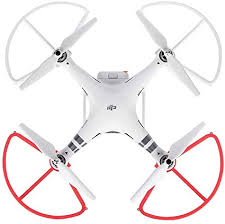
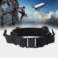
- A must-have addition for new pilots
- Helps prevent propeller or aircraft damage
- Perfect for when flying near other objects
- Tough and highly reliable
- Lightweight, easy to install
- Adds additional element of safety


Last Updated: 29/12/2021
Item Code : xxxxNY

ITEM CODE ;105600-AS
LAST UPDATED ;22-08-2020
Pix4Dfields software created from the input of farmers, agronomists, and breeders.
To give you fast and accurate maps while in the field, with a simple yet powerful interface fully dedicated to agriculture.
Available on backorder


Last Updated: 21/05/2021
Item Code: G1044NY

ITEM CODE ;105600-AS
LAST UPDATED ;22-08-2020
Automate industrial inspection and asset management with drone images
Available on backorder