


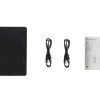
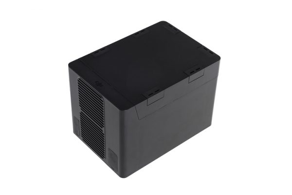
DJI Hex Charger of M600 Pro Drone
-
Maximum Speed : Horizontal (No Wind): 40 mph / 65 km/h
-
Ascent: 16.4 ft/s (5 m/s)
-
Descent: 9.8 ft/s (3 m/s)
-
Maximum Wind Resistance : 26.2 ft/s (8 m/s)
-
Maximum Altitude : Above Sea Level: 8202.1′ / 2500 m

- Item Code : G105600g-A
- Last Updated : 09-08-2020
-
Maximum Speed : Horizontal (No Wind): 40 mph / 65 km/h
-
Ascent: 16.4 ft/s (5 m/s)
-
Descent: 9.8 ft/s (3 m/s)
-
Maximum Wind Resistance : 26.2 ft/s (8 m/s)
-
Maximum Altitude : Above Sea Level: 8202.1′ / 2500 m
-
Hovering Accuracy : P-Mode with GPS:
-
Vertical: ±1.6′ / 0.5 m
-
Horizontal: ±4.9′ / 1.5 m
-
Maximum Angular Velocity : Pitch: 300°/s
-
Yaw: 150°/s
-
Maximum Pitch Angle : 25°
-
Hovering Time : Six TB47S Batteries:
-
No payload: 32 minutes
-
13.2 lb / 6 kg Payload: 16 minutes
Brand
DJI
Related Products
ITEM CODE ;106600-AS
LAST UPDATED ;15-09-2020
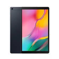
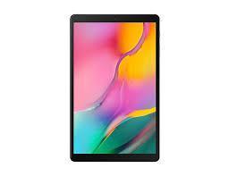
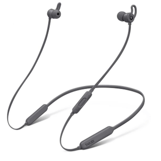
Model Number: tab-a-wifi-smblack
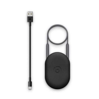
Item Code : AExxxxNY
Last Updated : 15-04-2022
The most popular products
Available on backorder
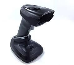
- Brand : Zebra
- Last updated :26-02-2020
-
Dimensions :5.512 in. H x 3.232 in. W x 3.150 in. D 14.0 cm H x 8.21 cm W x 8.0 cm D
-
Weight : 9.5 oz./269 g
-
Voltage and Current : Idle: 5 ± 10% VDC @ 150ma average Scanning: 5 ± 10% VDC @ 230ma average
-
Color : Midnight Black
Available on backorder


ITEM CODE ;105600-AS
LAST UPDATED ;22-08-2020
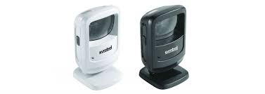
2D fast-mapping for emergency response and public safety
Available on backorder

ITEM CODE ;105600-AS
LAST UPDATED ;22-08-2020
Pix4Dfields software created from the input of farmers, agronomists, and breeders.
To give you fast and accurate maps while in the field, with a simple yet powerful interface fully dedicated to agriculture.
Available on backorder

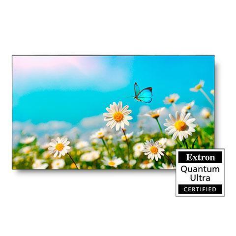
Last Updated: 29/12/2021
Item Code : xxxxNY


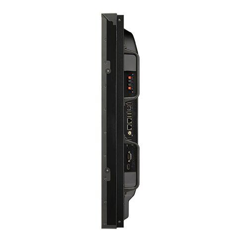
Item Code : AExxxxNY
Last Updated : 17-10-2022

ITEM CODE ;105600-AS
LAST UPDATED ;22-08-2020
Bridge the gap from photogrammetry to CAD
Available on backorder