


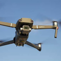


Pix4Dinspect


ITEM CODE ;105600-AS
LAST UPDATED ;22-08-2020
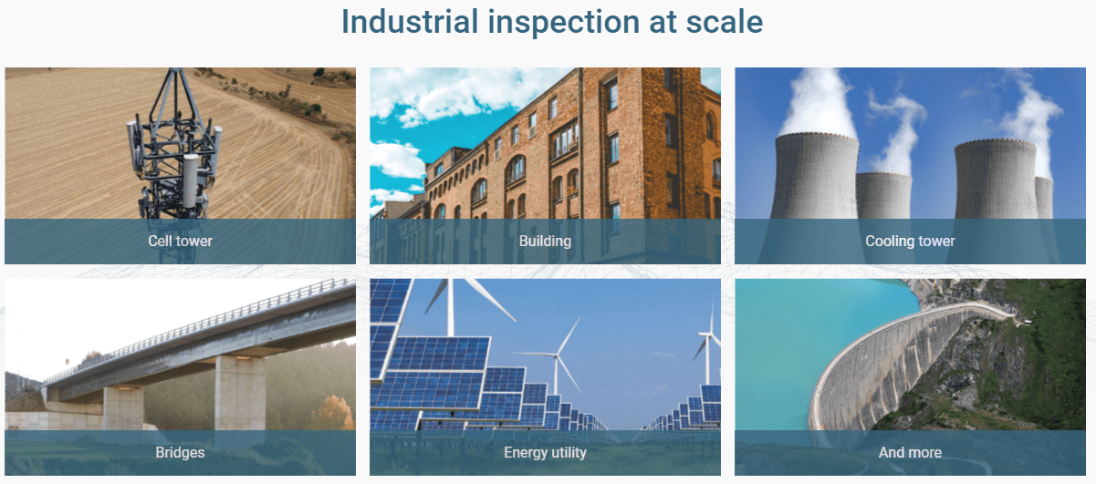
Automate industrial inspection and asset management with drone images
If you are using a drone, automate flights and improve results with the Pix4Dscan app.
Annotate and classify, take accurate measurements, and let our advanced AI help you in the process.
Pix4Dinspect records, compiles and formats your annotations with positional information as you go. Export your report with just a click.
Take control of your entire portfolio and support better decisions with historical, highly detailed records.
Professional platform for visual inspection
Get reliable, shareable and archival results for better decision making


Related Products
ITEM CODE ;105600-AS
LAST UPDATED ;22-08-2020
Pix4Dmodel is a software to start 3D modeling with your consumer drone.This tool processes images automatically in Pix4Dmodel to create photorealistic 3D models from drone images.Pix4Dmodel is an image-based modeling software that integrates seamlessly with companies’ internal and external communication strategies in the real estate and renovation industries.Using images captured by drone, Pix4Dmodel generates photorealistic 3D models. Workflow also becomes more fluid thanks to the ability to annotate and share measurements via the Pix4D cloud.
Available on backorder


Item Code : AExxxxNY
Last Updated : 15-04-2022
| Connection Type | Wireless |

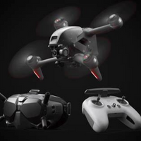
ITEM CODE ;105600-AS
LAST UPDATED ;22-08-2020
2D fast-mapping for emergency response and public safety
Available on backorder

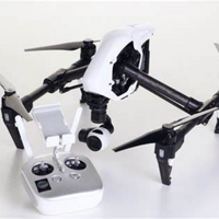
ITEM CODE -105600-AS
LAST UPDATED ;22-08-2020
Pix4Dengine is a set of programming modules running on your infrastructure or on our cloud, which are fully compatible with other Pix4D solutions. There are two modules available today: Pix4Dengine Server, and Pix4Dengine Cloud. These modules are built to empower customization, automation and integration into any enterprise system and reality-capture workflows.
Available on backorder


AGM-MS2 is an entry-level system for:
› engineering surveys;
› creation of three-dimensional models of infrastructure objects;
› design;
› mine surveying;
› and others.
Available on backorder


Lens and sensor protective film.
Available on backorder


ITEM CODE ;105600-AS
LAST UPDATED;22-08-2020
Pix4Dmapper turns your images into highly precise, georeferenced 2D maps and 3D models. They’re customizable, timely, and complement a wide range of applications and software.
Available on backorder
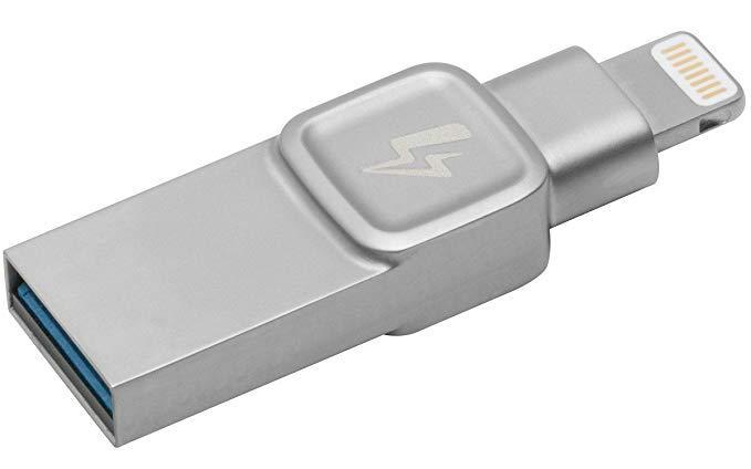
- 32GB Kingston DataTraveler Bolt Duo USB Flash Drive
- Extend storage space on your iPhone or iPad
- Bolt app included
- Shoot pictures & videos directly to the Bolt
- Apple certified