


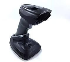
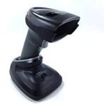
Zebra DS9208-SR4NNU21ZE

- Brand : Zebra
- Last updated :26-02-2020
-
Dimensions :5.512 in. H x 3.232 in. W x 3.150 in. D 14.0 cm H x 8.21 cm W x 8.0 cm D
-
Weight : 9.5 oz./269 g
-
Voltage and Current : Idle: 5 ± 10% VDC @ 150ma average Scanning: 5 ± 10% VDC @ 230ma average
-
Color : Midnight Black
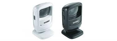
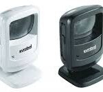
Zebra DS9208-SR Desktop Scanner – USB EMEA Kit
- Brand : Zebra
-
Dimensions :5.512 in. H x 3.232 in. W x 3.150 in. D 14.0 cm H x 8.21 cm W x 8.0 cm D
-
Weight : 9.5 oz./269 g
-
Voltage and Current : Idle: 5 ± 10% VDC @ 150ma average Scanning: 5 ± 10% VDC @ 230ma average
-
Color : Midnight Black
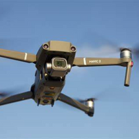
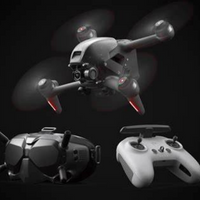
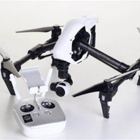
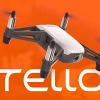
Related Products

Item Code : AExxxxNY
Last Updated : 15-04-2022
NVIDIA GeForce RTX 2080 Super Max-Q 8GB


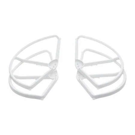
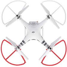
- A must-have addition for new pilots
- Helps prevent propeller or aircraft damage
- Perfect for when flying near other objects
- Tough and highly reliable
- Lightweight, easy to install
- Adds additional element of safety

ITEM CODE ;106700-AS
LAST UPDATED ;15-09-2020
Galaxy Tab 3 Lite T113 7-Inch, 8GB, Wi-Fi, Cream White

ITEM CODE ;105600-AS
LAST UPDATED;22-08-2020
Pix4Dmapper turns your images into highly precise, georeferenced 2D maps and 3D models. They’re customizable, timely, and complement a wide range of applications and software.
Available on backorder

ITEM CODE ;105600-AS
LAST UPDATED ;22-08-2020
Bridge the gap from photogrammetry to CAD
Available on backorder
AGM-MS2 is an entry-level system for:
› engineering surveys;
› creation of three-dimensional models of infrastructure objects;
› design;
› mine surveying;
› and others.
Available on backorder

ITEM CODE ;105600-AS
LAST UPDATED ;22-08-2020
Pix4Dmodel is a software to start 3D modeling with your consumer drone.This tool processes images automatically in Pix4Dmodel to create photorealistic 3D models from drone images.Pix4Dmodel is an image-based modeling software that integrates seamlessly with companies’ internal and external communication strategies in the real estate and renovation industries.Using images captured by drone, Pix4Dmodel generates photorealistic 3D models. Workflow also becomes more fluid thanks to the ability to annotate and share measurements via the Pix4D cloud.
Available on backorder


ITEM CODE ;105600-AS
LAST UPDATED ;22-08-2020
2D fast-mapping for emergency response and public safety
Available on backorder

ITEM CODE ;105600-AS
LAST UPDATED ;22-08-2020
Automate industrial inspection and asset management with drone images
Available on backorder