


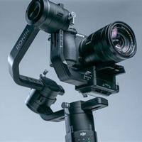


PiX4D Survey
ITEM CODE ;105600-AS
LAST UPDATED ;22-08-2020
Bridge the gap from photogrammetry to CAD


Beyond the point
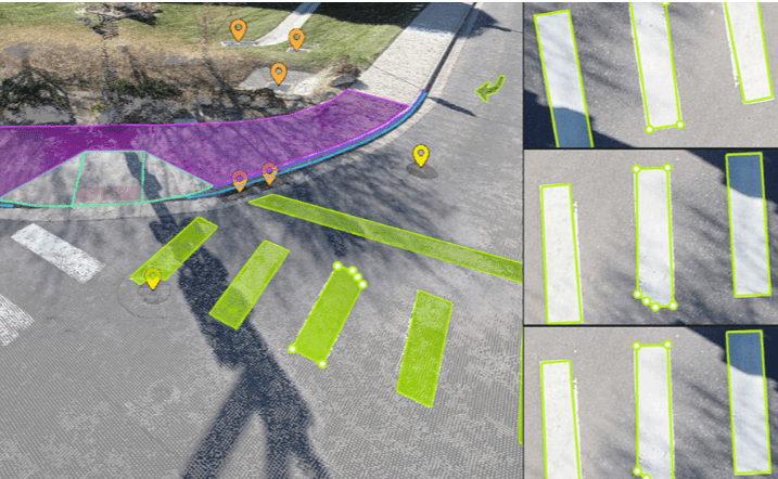
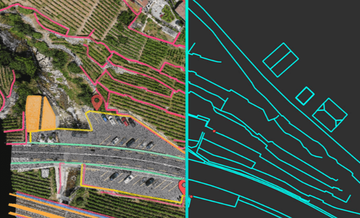
Extract only the most relevant information to simplify your surveying workflows
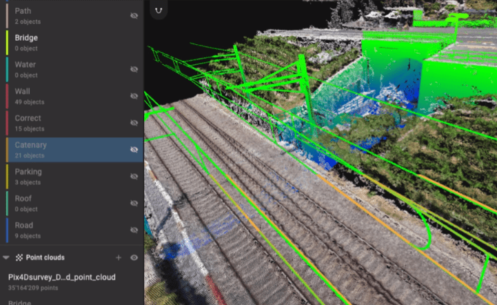
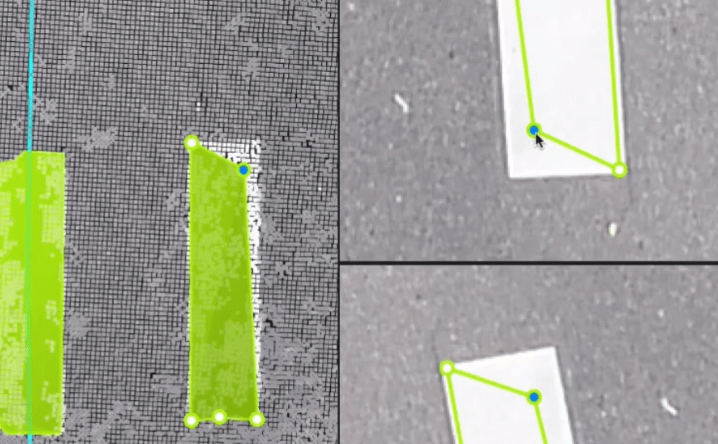
Vectorize anything
Use the combined power of images and point clouds to extract key elements from photogrammetry and LiDAR data. Survey the bottom and top of curbs, building footprints, walls, catenary curves and more.

Related Products
ITEM CODE ;105600-AS
LAST UPDATED ;22-08-2020
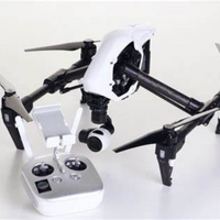
Pix4Dmodel is a software to start 3D modeling with your consumer drone.This tool processes images automatically in Pix4Dmodel to create photorealistic 3D models from drone images.Pix4Dmodel is an image-based modeling software that integrates seamlessly with companies’ internal and external communication strategies in the real estate and renovation industries.Using images captured by drone, Pix4Dmodel generates photorealistic 3D models. Workflow also becomes more fluid thanks to the ability to annotate and share measurements via the Pix4D cloud.
Available on backorder
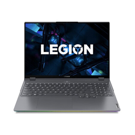
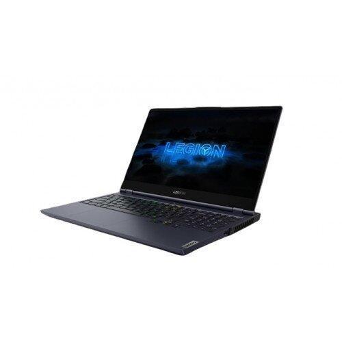
Item Code : AExxxxNY
Last Updated : 15-04-2022
NVIDIA GeForce RTX 2080 Super Max-Q 8GB
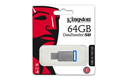
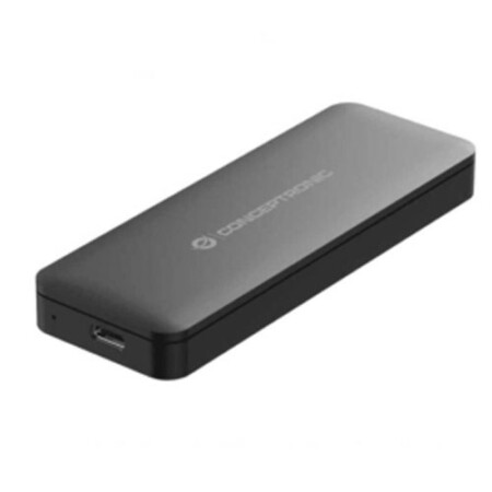
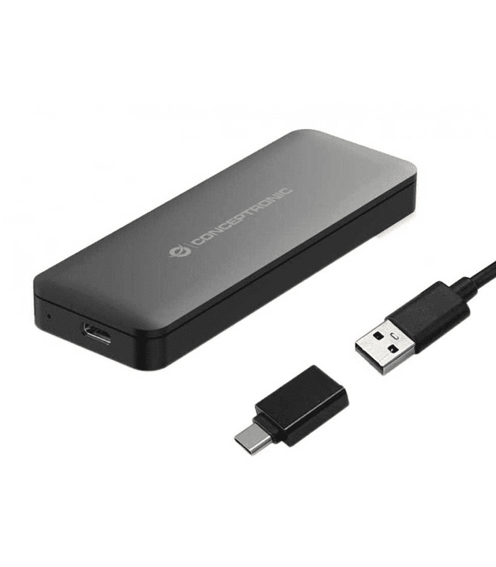
- Small and compact – the lightweight storage solution that’s easy to take with you
- Metal casing – complements any compatible device
- no cap to lose or break
- USB 3.1 Gen 1 (USB 3.0) speeds: 110MB/s Read, 15MB/s Write – faster than USB 2.0 Flash drives
- Large capacities – to take all your files with you
ITEM CODE ;106600-AS
LAST UPDATED ;15-09-2020
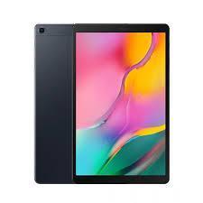
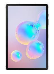
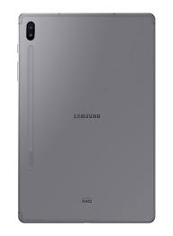
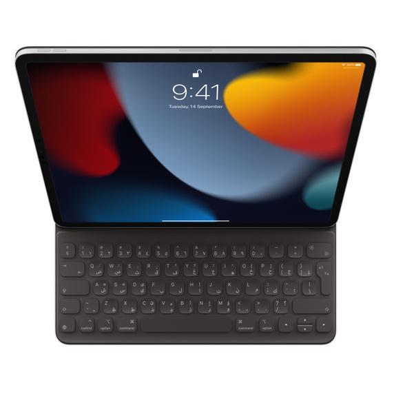
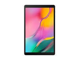
Model Number: SM-T865NZAAXSG
Item Code : AExxxxNY
Last Updated : 15-04-2022
| Connection Type | Wireless |

ITEM CODE ;105600-AS
LAST UPDATED ;22-08-2020
Pix4Dfields software created from the input of farmers, agronomists, and breeders.
To give you fast and accurate maps while in the field, with a simple yet powerful interface fully dedicated to agriculture.
Available on backorder
ITEM CODE ;106600-AS
LAST UPDATED ;15-09-2020
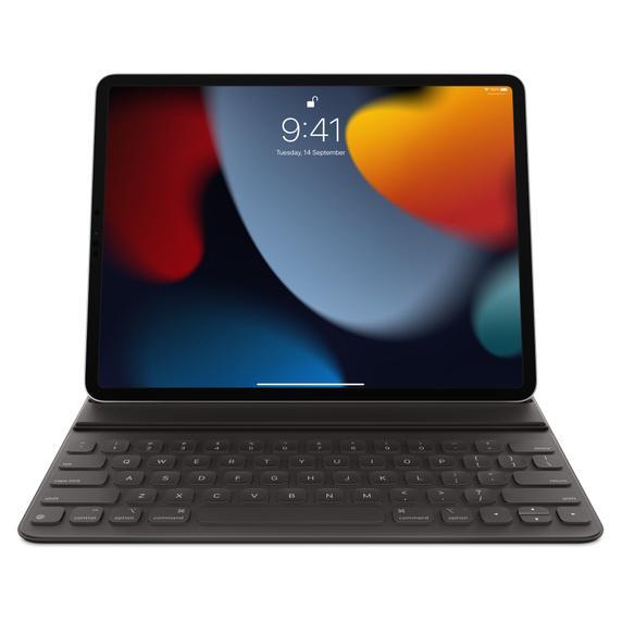
Model Number: tab-a-wifi-smblack
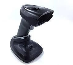
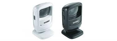
- Brand : Zebra
- Last updated :26-02-2020
-
Dimensions :5.512 in. H x 3.232 in. W x 3.150 in. D 14.0 cm H x 8.21 cm W x 8.0 cm D
-
Weight : 9.5 oz./269 g
-
Voltage and Current : Idle: 5 ± 10% VDC @ 150ma average Scanning: 5 ± 10% VDC @ 230ma average
-
Color : Midnight Black
Available on backorder
Last Updated: 21/05/2021
Item Code: G1044NY
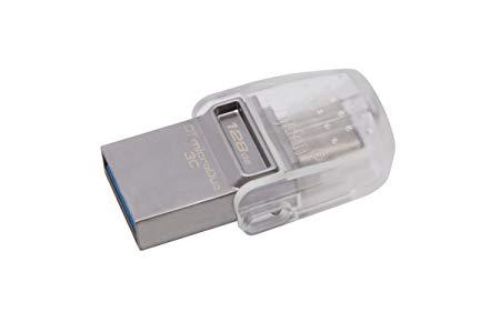
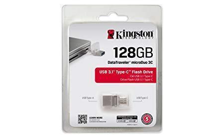
- Versatile – DT Micro Duo 3C works with newer USB Type-C devices such as smartphones and tablets and is also compatible with USB Type-A Ports on existing USB host devices.
- Store more – extra storage for the latest smartphones, tablets, PC and Mac computers with Type-C Ports.
- Fast – USB 3.13 performance for speeds up to 100MB/s and 15MB/s write – so you’re not waiting for content-rich files to transfer
- Guaranteed – for your peace of mind, DataTraveler Micro Duo 3C is backed by a five-year Warranty, free technical support and legendary Kingston reliability.