


PiX4D Survey


ITEM CODE ;105600-AS
LAST UPDATED ;22-08-2020
Bridge the gap from photogrammetry to CAD


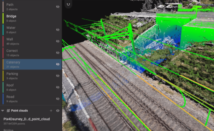
Beyond the point
Extract only the most relevant information to simplify your surveying workflows
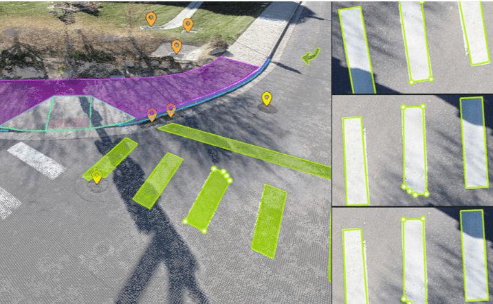
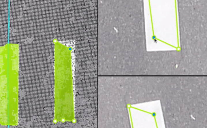
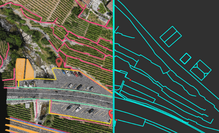
Vectorize anything
Use the combined power of images and point clouds to extract key elements from photogrammetry and LiDAR data. Survey the bottom and top of curbs, building footprints, walls, catenary curves and more.

Related Products


Item Code : AExxxxNY
Last Updated : 17-10-2022

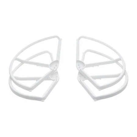

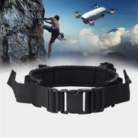
- A must-have addition for new pilots
- Helps prevent propeller or aircraft damage
- Perfect for when flying near other objects
- Tough and highly reliable
- Lightweight, easy to install
- Adds additional element of safety

Item Code : AExxxxNY
Last Updated : 15-04-2022
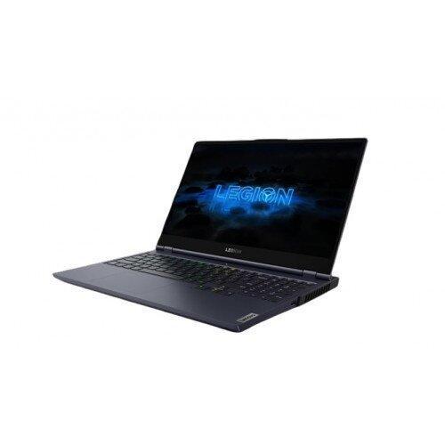
NVIDIA GeForce RTX 2080 Super Max-Q 8GB

ITEM CODE -105600-AS
LAST UPDATED ;22-08-2020
Pix4Dengine is a set of programming modules running on your infrastructure or on our cloud, which are fully compatible with other Pix4D solutions. There are two modules available today: Pix4Dengine Server, and Pix4Dengine Cloud. These modules are built to empower customization, automation and integration into any enterprise system and reality-capture workflows.
Available on backorder


Item Code : AExxxxNY
Last Updated : 15-04-2022
| Connection Type | Wireless |


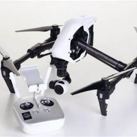
ITEM CODE ;106700-AS
LAST UPDATED ;15-09-2020
Galaxy Tab 3 Lite T113 7-Inch, 8GB, Wi-Fi, Cream White

ITEM CODE ;105600-AS
LAST UPDATED ;22-08-2020
Automate industrial inspection and asset management with drone images
Available on backorder


Item Code : AExxxxNY
Last Updated : 15-04-2022
The most popular products
Available on backorder