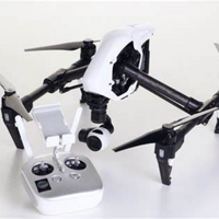
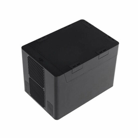
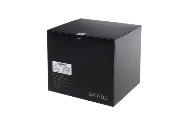

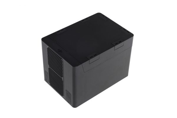
DJI Hex Charger of M600 Pro Drone
-
Maximum Speed : Horizontal (No Wind): 40 mph / 65 km/h
-
Ascent: 16.4 ft/s (5 m/s)
-
Descent: 9.8 ft/s (3 m/s)
-
Maximum Wind Resistance : 26.2 ft/s (8 m/s)
-
Maximum Altitude : Above Sea Level: 8202.1′ / 2500 m

- Item Code : G105600g-A
- Last Updated : 09-08-2020
-
Maximum Speed : Horizontal (No Wind): 40 mph / 65 km/h
-
Ascent: 16.4 ft/s (5 m/s)
-
Descent: 9.8 ft/s (3 m/s)
-
Maximum Wind Resistance : 26.2 ft/s (8 m/s)
-
Maximum Altitude : Above Sea Level: 8202.1′ / 2500 m
-
Hovering Accuracy : P-Mode with GPS:
-
Vertical: ±1.6′ / 0.5 m
-
Horizontal: ±4.9′ / 1.5 m
-
Maximum Angular Velocity : Pitch: 300°/s
-
Yaw: 150°/s
-
Maximum Pitch Angle : 25°
-
Hovering Time : Six TB47S Batteries:
-
No payload: 32 minutes
-
13.2 lb / 6 kg Payload: 16 minutes
Brand
DJI
Related Products

ITEM CODE ;105600-AS
LAST UPDATED;22-08-2020
Pix4Dmapper turns your images into highly precise, georeferenced 2D maps and 3D models. They’re customizable, timely, and complement a wide range of applications and software.
Available on backorder


ITEM CODE ;106700-AS
LAST UPDATED ;15-09-2020
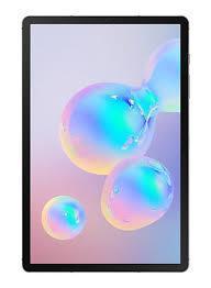
Galaxy Tab 3 Lite T113 7-Inch, 8GB, Wi-Fi, Cream White
ITEM CODE -105600-AS
LAST UPDATED ;22-08-2020
Pix4Dengine is a set of programming modules running on your infrastructure or on our cloud, which are fully compatible with other Pix4D solutions. There are two modules available today: Pix4Dengine Server, and Pix4Dengine Cloud. These modules are built to empower customization, automation and integration into any enterprise system and reality-capture workflows.
Available on backorder
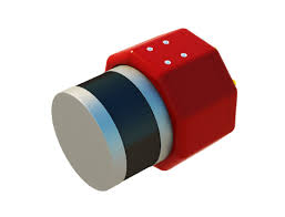
AGM-MS2 is an entry-level system for:
› engineering surveys;
› creation of three-dimensional models of infrastructure objects;
› design;
› mine surveying;
› and others.
Available on backorder

Item Code : AExxxxNY
Last Updated : 15-04-2022
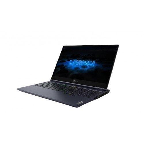
NVIDIA GeForce RTX 2080 Super Max-Q 8GB
Last Updated: 21/05/2021
Item Code: G1044NY


ITEM CODE ;106600-AS
LAST UPDATED ;15-09-2020
Model Number: SM-T865NZAAXSG