


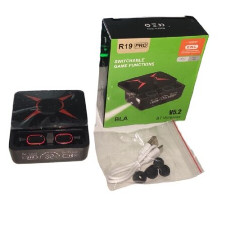

R19 pro
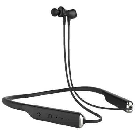
Last Updated : 25/05/2023
Item Code : G107600TA
- Wireless Bluetooth
- Version 5.2
- LED Flash Light
Product Specification
- Wireless Bluetooth
- Version 5.2
- LED Flash Light
Brand
Other Brand
Related Products
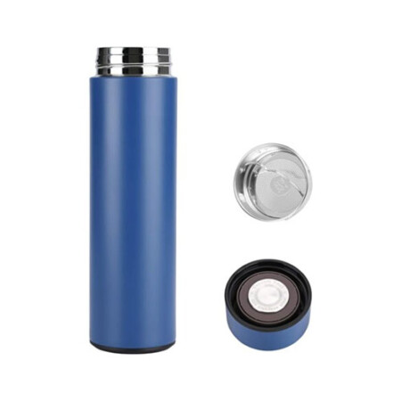
ITEM CODE ;105600-AS
LAST UPDATED ;22-08-2020
Visualize, measure and verify as-built data of your site using flexible image processing options on either desktop or cloud. Deliverables can be analyzed and shared via a cloud-based server and compared to BIM as-design or schedule drawings.
Available on backorder
AGM-MS2 is an entry-level system for:
› engineering surveys;
› creation of three-dimensional models of infrastructure objects;
› design;
› mine surveying;
› and others.
Available on backorder


ITEM CODE ;105600-AS
LAST UPDATED ;22-08-2020
2D fast-mapping for emergency response and public safety
Available on backorder
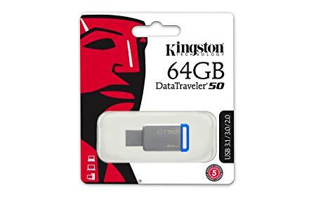
- Small and compact – the lightweight storage solution that’s easy to take with you
- Metal casing – complements any compatible device
- no cap to lose or break
- USB 3.1 Gen 1 (USB 3.0) speeds: 110MB/s Read, 15MB/s Write – faster than USB 2.0 Flash drives
- Large capacities – to take all your files with you
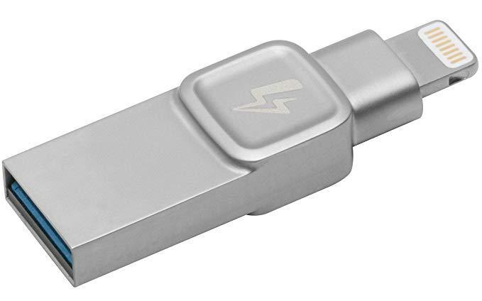
- 32GB Kingston DataTraveler Bolt Duo USB Flash Drive
- Extend storage space on your iPhone or iPad
- Bolt app included
- Shoot pictures & videos directly to the Bolt
- Apple certified


Item Code : AExxxxNY
Last Updated : 17-10-2022

ITEM CODE ;105600-AS
LAST UPDATED ;22-08-2020
Pix4Dmodel is a software to start 3D modeling with your consumer drone.This tool processes images automatically in Pix4Dmodel to create photorealistic 3D models from drone images.Pix4Dmodel is an image-based modeling software that integrates seamlessly with companies’ internal and external communication strategies in the real estate and renovation industries.Using images captured by drone, Pix4Dmodel generates photorealistic 3D models. Workflow also becomes more fluid thanks to the ability to annotate and share measurements via the Pix4D cloud.
Available on backorder

ITEM CODE ;105600-AS
LAST UPDATED ;22-08-2020
Pix4Dfields software created from the input of farmers, agronomists, and breeders.
To give you fast and accurate maps while in the field, with a simple yet powerful interface fully dedicated to agriculture.
Available on backorder